
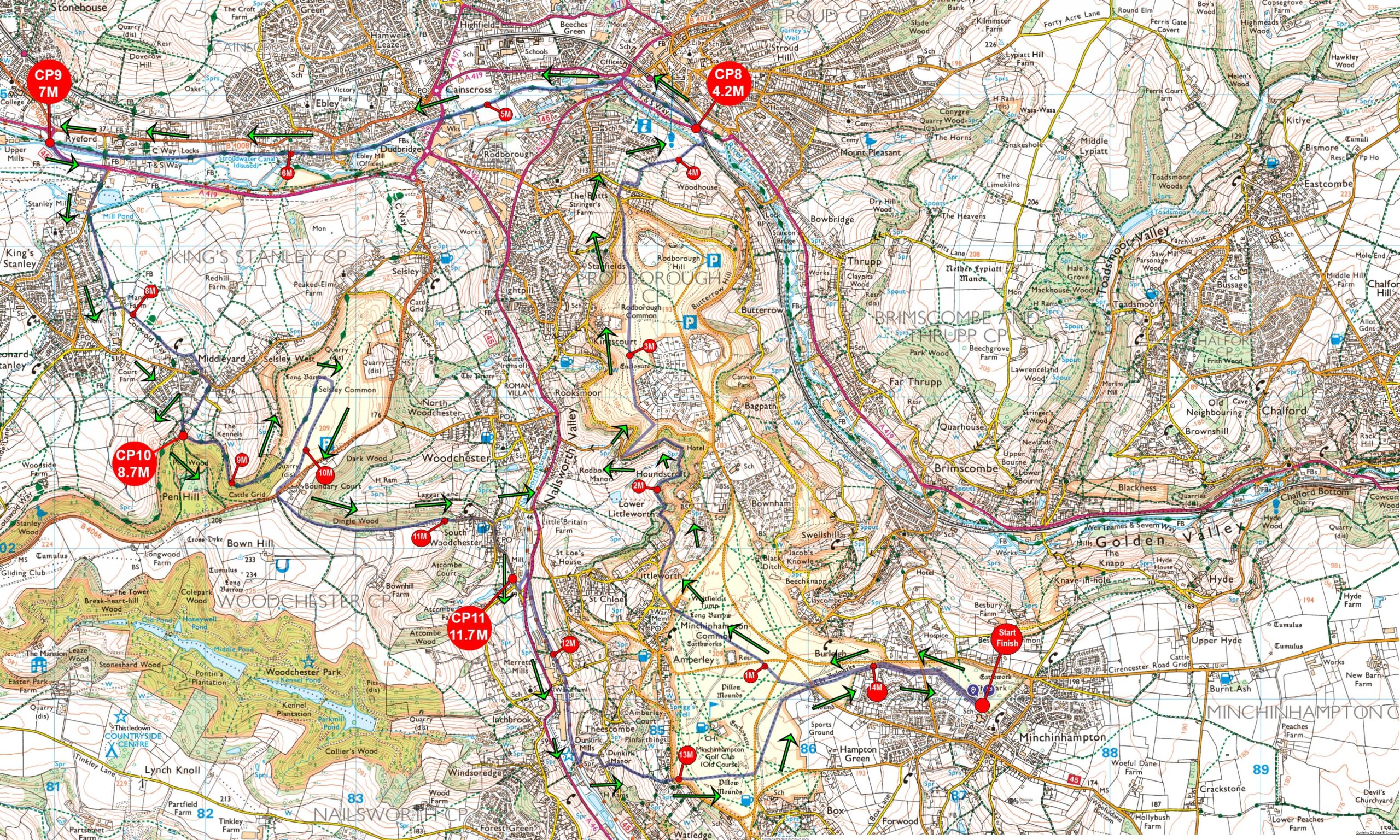
From the Peak of Selsley common a small switchback and over the B4066 and into the fields next to Dingle Woods, is the top of a long descent into South Woodchester and the Ram Inn, (Checkpoint 12)
The route now joins the old disused Stonehouse to Nailsowrth Railway line (aka the Dudbridge Donkey Line) and heading towards Nailsworth. After about a mile, Dunkirk Mill comes into view and now leaving the Cycles Track, the next 600ft ascent is here to take runners up onto Minchinhampton Common and over to Box, before heading across Minchinhampton Common, towards Minchinhampton and to the Great Park where the finish awaits.
Race bibs can be collected from 7am at Race HQ
Race briefing will be at 10:20am at the start line
Race HQ is Minchinhampton Academy
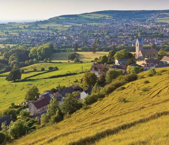
Start & Finish is the Great Park on the common at the back of school
There is an additional £2 for unaffiliated runners
or earlier if entry limit is reached
Information, running advice, raceday address, contact details, directions and parking instructions
An email will be sent out the week beginning 29th April
There is no specific car park for this event. There are 30 spaces at the school, but the rest of parking is street parking. Please check the map.
Your T-shirt & size is guaranteed before 21st April. After this date you may not get a T-shirt or it may not be your size.
A plaque with 1st Lady & 1st Man will be added after the event. This shield can't be taken away
There are 4 checkpoints on the Half Marathon.
Note: Checkpoint numbers cover all 4 event distances, so those below will be the ones you go to. You will not see any others to confuse you.
Water & Energy Drinks
If you subscribe to the OS Maps online, then you can view the route here. You also download the GPX file and view a 3D fly through
Want to be notified when event registration opens, get links to results & photos, plus read our latest news?
Then sign-up to our monthly newsletter
